Thursday, May 18th
The trouble with cycling 100 miles one day is you kind of expect yourself to do it the next, or maybe even better it. Cycling 50, 60, or 70 miles no longer feels good enough, which is ridiculous of course, but it’s easy to get caught up in the numbers, and hard to know when to stop.
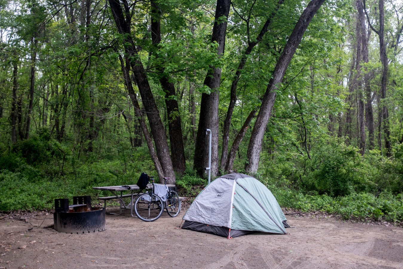
Waking up in the campsite I could feel the distance i’d covered the day before taking a toll on me as I struggled, momentarily, to go from horizontal to upright inside my tent. This was not just a physical issue of course. I had a slower start. I slept well, using a sleeping bag liner made my sleep just a little bit more warmer and comfortable.
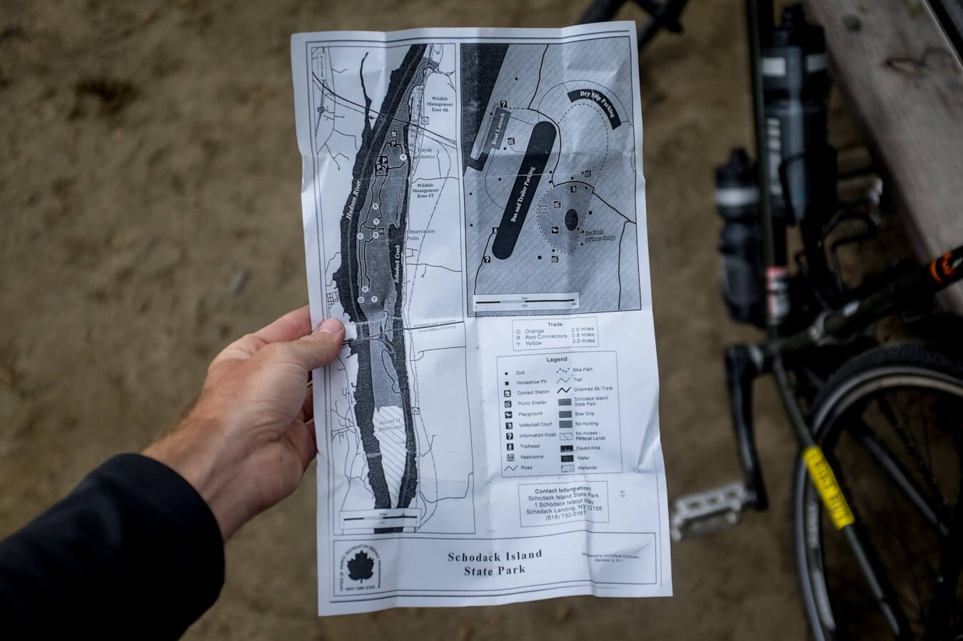
I checked out the dock in the park, but promptly left, rejoining the 9J which I’d cycled on the previous evening. This took me to Albany. The biggest city I’d seen in a while, a skyline visible from some distance away. It was odd being on busy roads again. Cars were,in general, a lot more respectful than I’d anticipated in America, and large fluorescent signposts with cyclists on helped keep people aware of your presence.
I stopped on the outskirts of Albany at a supermarket then entered the city, bypassing the center as I was heading straight for the route 5 which would lead, after 10 or 20 miles, to the Mohawk River, which I’d follow west towards Niagara. I was now officially heading West.
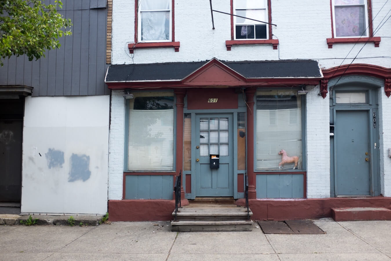
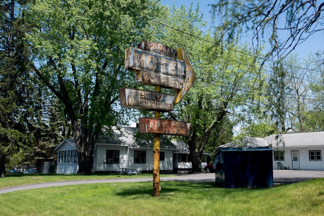
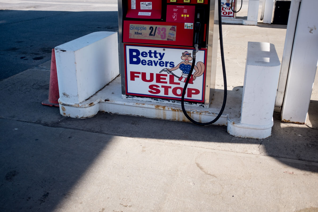
Albany seemed a little run down, around the edges at least, and I didn’t hang around. The route 5 was a busy highway lined with the usual chains plus a host of other store fronts catering for more or less any other service or product you might require – dog washing, sign making, bathrooms, motels, Italian steaks, tattoos, 24hr laundry, rugs, repairs, and, of course, guns. The novelty of this Americana, and the signs which came with it, was yet to grow old.
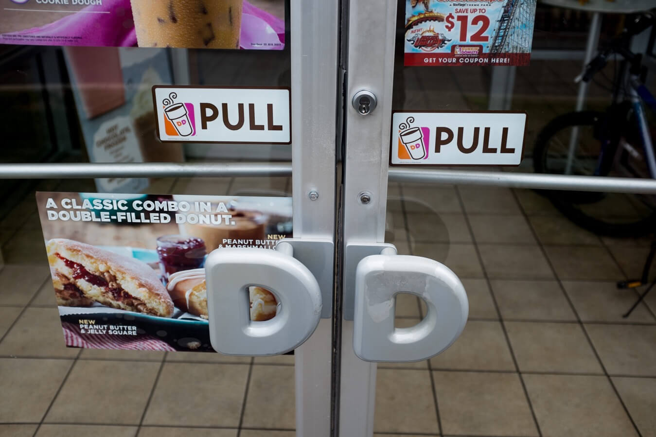
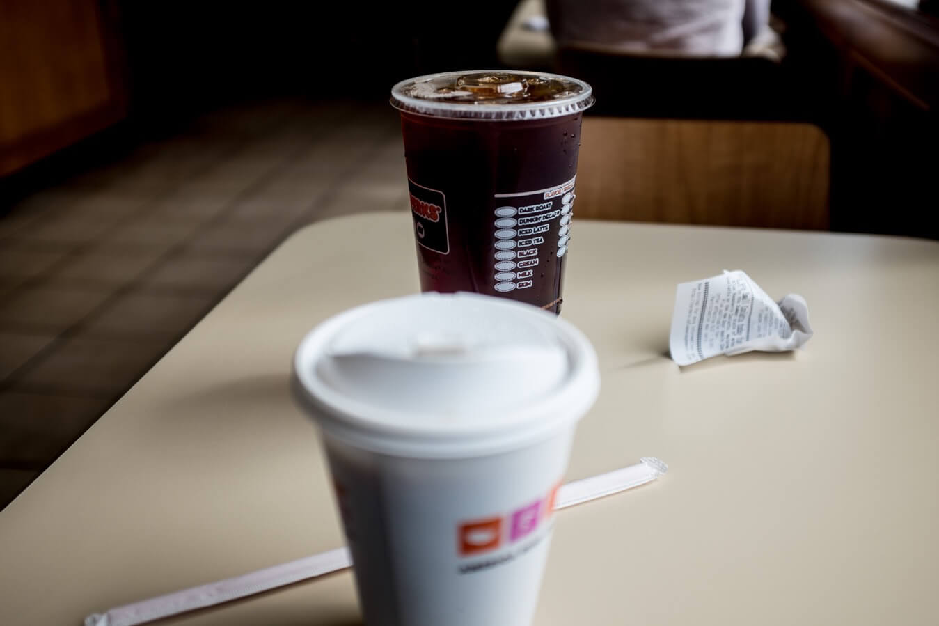
I stopped at Dunkin’ Doughnuts, perhaps my favourite of the chain instituations. It was cheap, the coffee wasn’t totally dreadful, and they were easy to find. I stopped for an hour or so, writing up yesterday as I’d fallen asleep before I could begin to process it. In the corner two guys played chess at a table. It felt out of place. A few other misfits came and went. I bought a ‘Big N Toasted’ for lunch later.
This is how Dunkin doughnuts describe the ‘Big N Toasted’:
“Start your big day with 2 fried eggs, 4 slices of cherrywood smoked bacon and american cheese on thick texas toast. pair it with our oven-toasted hash browns and a hot coffee for a hearty, home-style breakfast that will keep you running.”
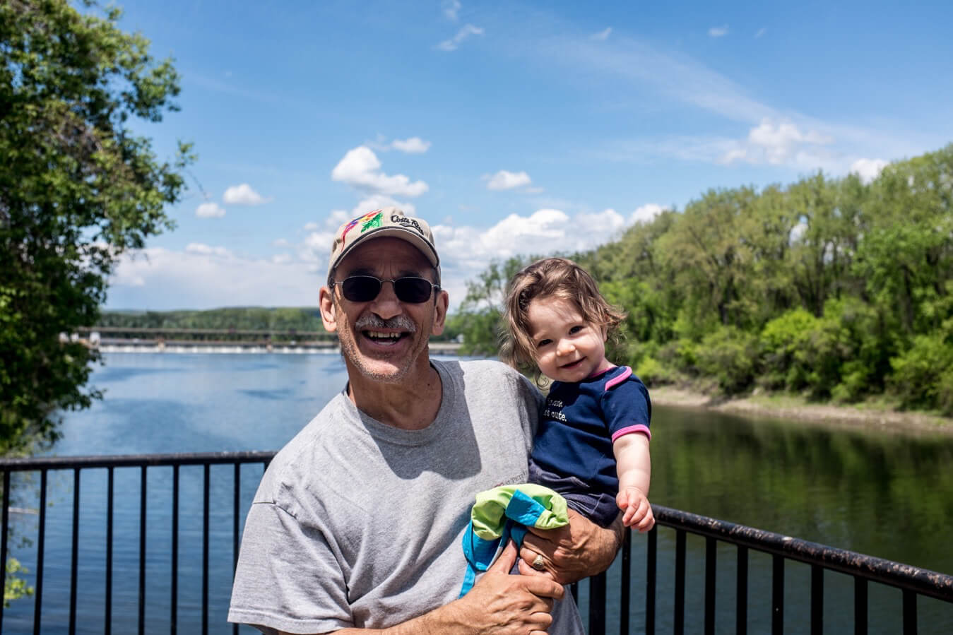
After Albany came Schenectady, a town I saw very little of, and wouldn’t have thought of at all if I hadn’t spoken to Ray, a guy I met taking his grand daughter for a stroll along the Mohawk-Hudson bikeway which I joined after passing through. He said Thomas Edison relocated there from New Jersey and formed General Electric. TV was first broadcast from there. The first fax machine too I think. Also American Locomative developed there. Tanks and submarines for WWII were produced there too.
It seemed to have a rich engineering and manufacturing history, which didn’t mean much to me personally, but did make me think that every place I went through had a history of some kind, even if now all I saw was shops selling guns and doughnuts.
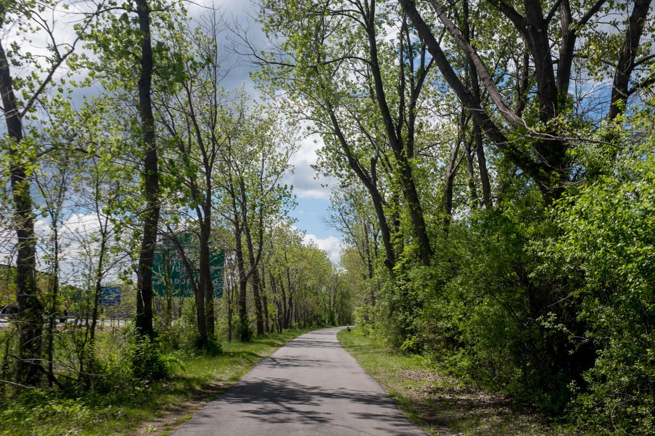
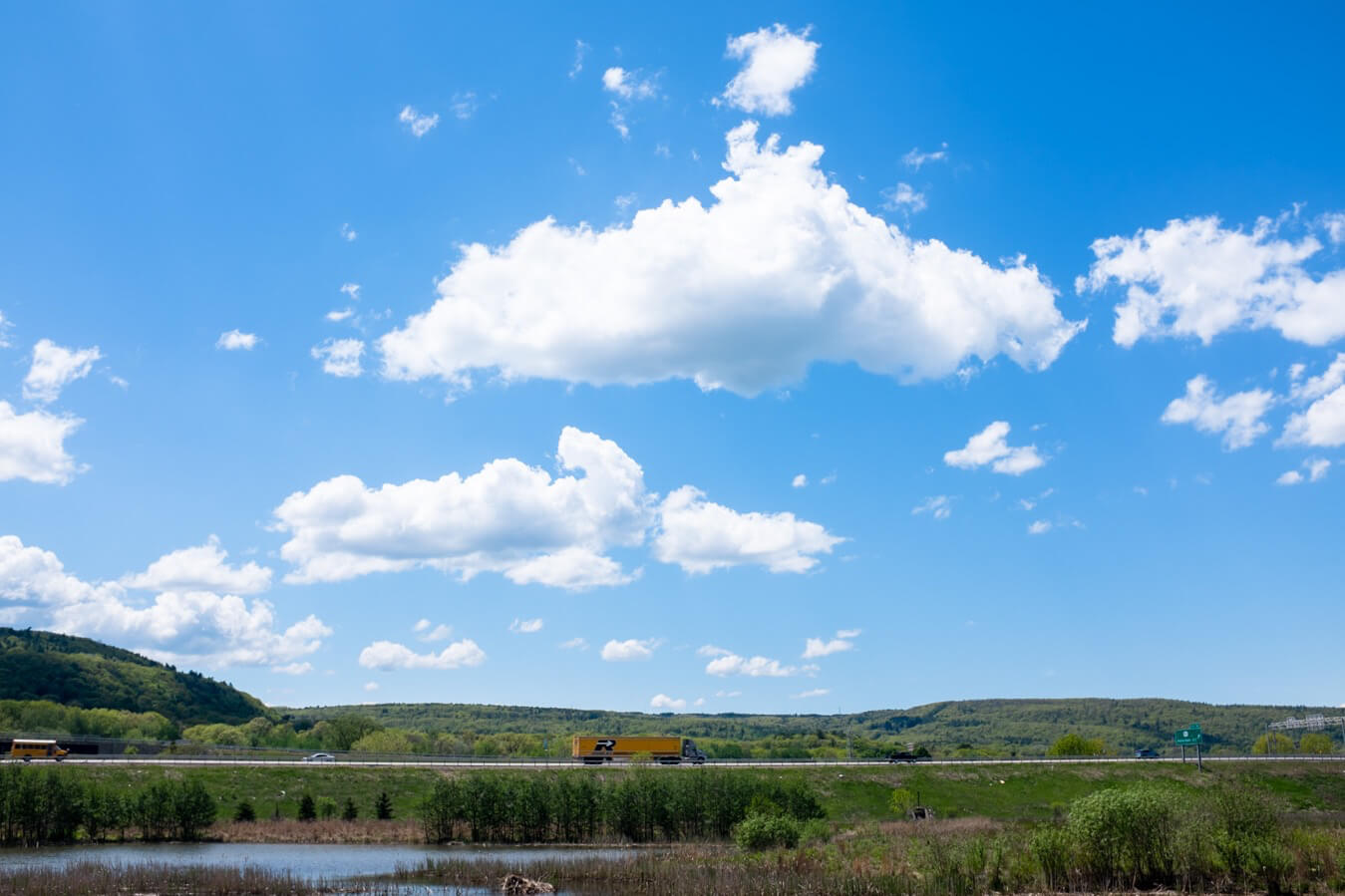
I chatted to Ray for a while about my trip, America, Donald Trump, and Costa Rica, then carried on the bikeway. After a morning mostly on the route 5 it was good to cycle on quiet paths again. It was a perfect day, the sky was blue, the clouds fluffy, the sun bright and strong.
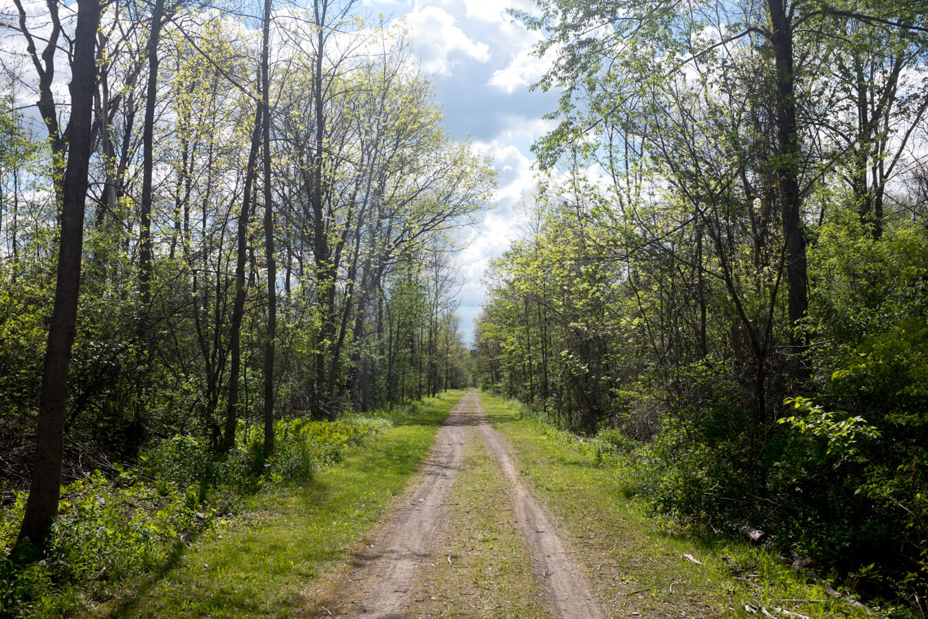
The Mohawk-Hudson bikeway became the Erie Canal trail and I alternated between this and the 5S. Though the canal trail looked great on paper in reality the surface wasn’t great for cycling. The paved sections were good, but a lot of the track was hard mud and gravel. Tire tracks and horse shoe marks had cut into the mud when it was softer, now it was hard again and a bumpy ride.
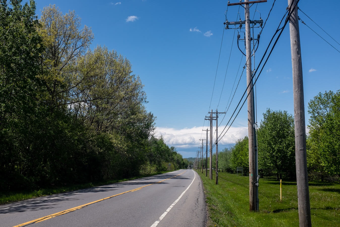
Back on the road I experienced my first strong headwind. It was tough to get through. Around the same time I ran out of water, but the road stretched on endlessly without a town or service for miles. It was no reason to panic, but probably a taste of what is to come the further west I head.

I decided to try the canal path again, hoping the surface was better now I was closer to civilisation. And it was. I took the path out of town intending to aim for Little Falls, a town I’d spotted on the map about 20 miles away but stopped after one town along near Fort Plain. Along the river a sign with a tent and an arrow pointed to a pretty spot with picnic benches and barbecue pits.
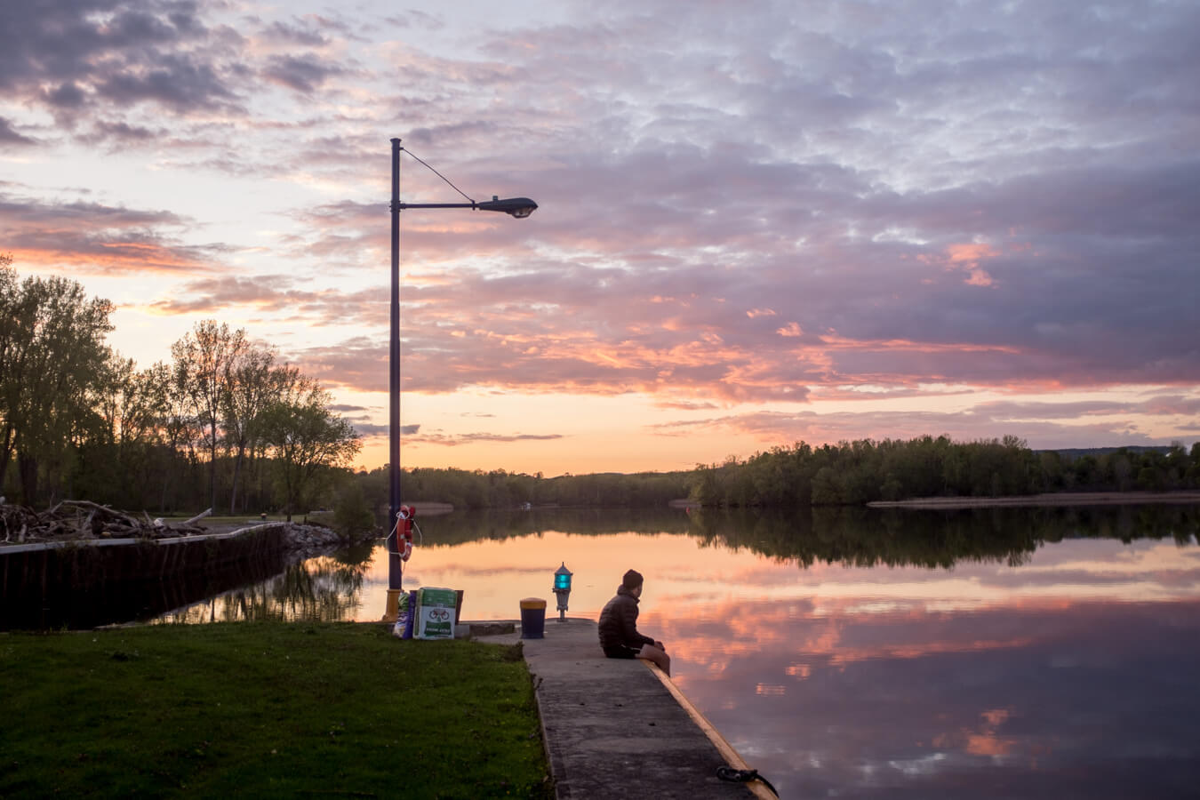
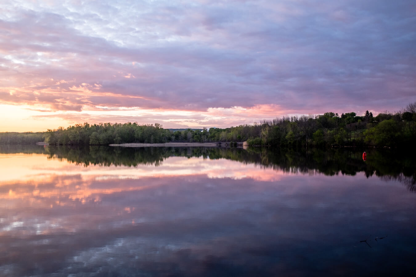
It looked like free camping but that felt too good to be true after last night. But after waiting around a while I couldn’t see how it would be paid for and decided to stop. I could have continued for an hour or so but it felt good to camp in a spot which was clearly intended for it, and I was able to enjoy the sunset down by the river. The sky was pink and the water was flat and calm. It wasn’t totally quiet, the highway was nearby and occoasianlly trains flew by on the track across the water and let out an nostalgic sounding horn blast. But it was easy enough to forget about those things in the tranquil surroundings.
Map


