
Thursday, July 7th
A day of sights and scenery rather than progress. It’s getting to the point where I’m going to have to make some compromises. Fewer scenic routes and more roads heading directly West. This will mean making some difficult decisions, especially now I’m in one of the most scenic parts of the entire country. But today was an exception.
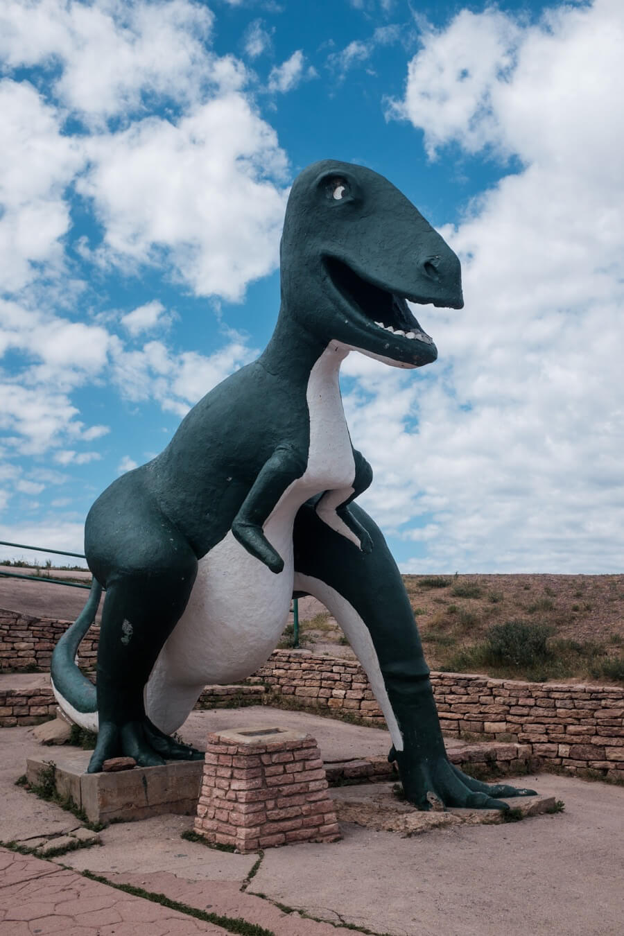
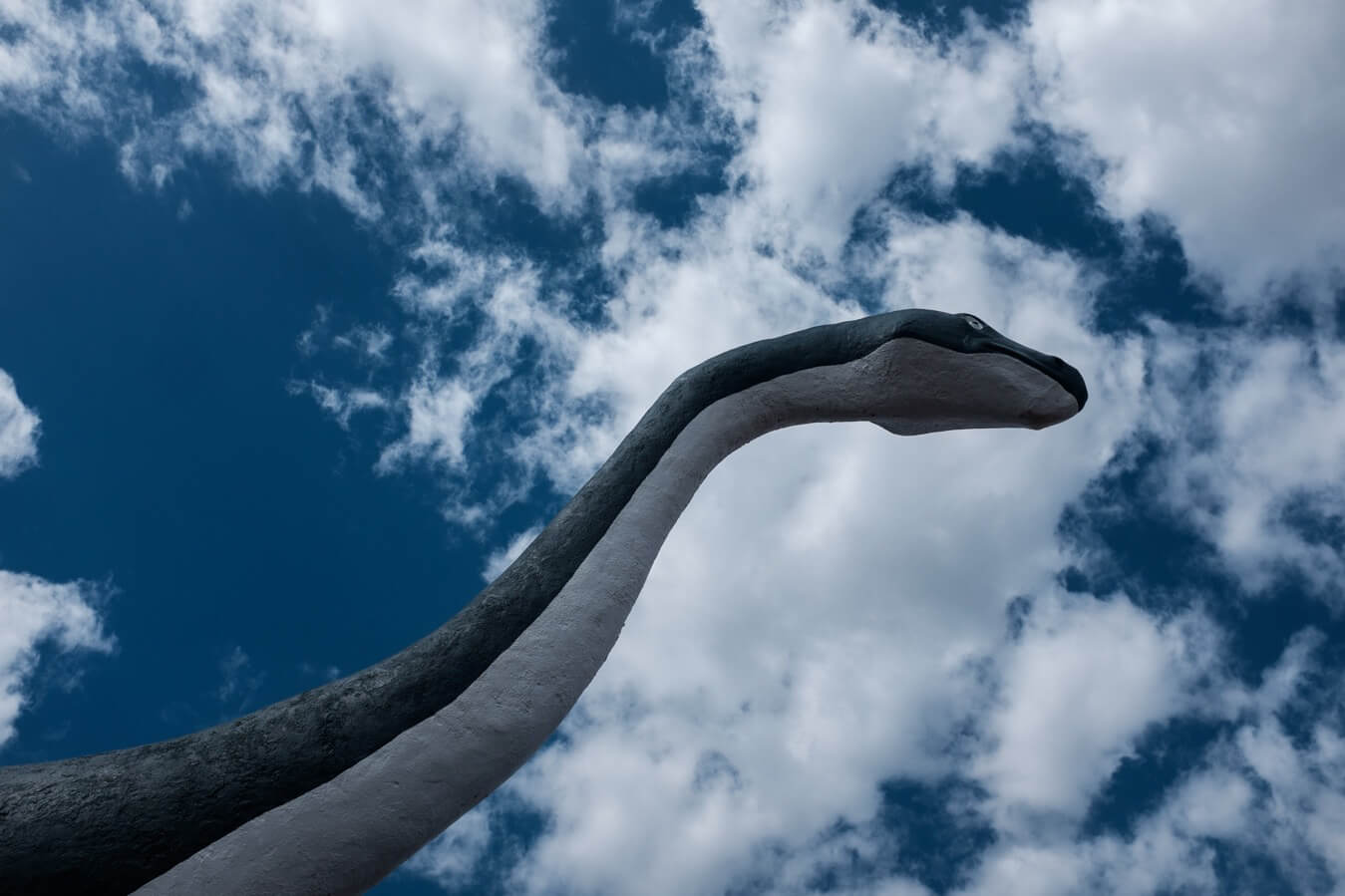
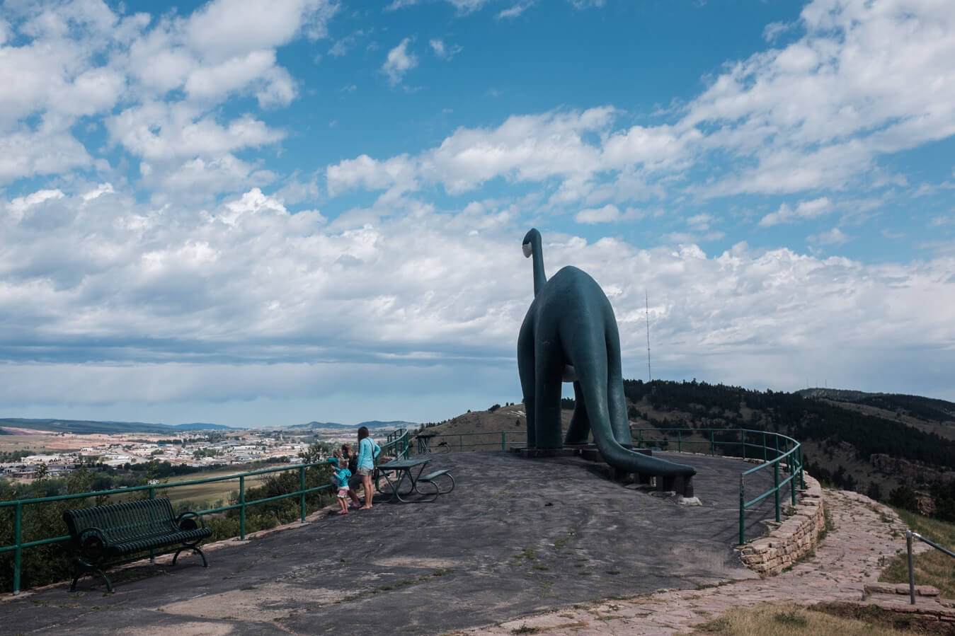
It began, after leaving now the motel and picking up coffee, with a steep climb out of Rapid City to the Dinosaur Park a set of six cartoonish creatures cast in concrete in 1936. The faces on them look ridiculous and the bodies are have a wonky papier-mâché quality to them. They overlook the city on a mountain top, and are a popular stop on the way to Mt Rushmore. Of course there is a gift shop filled to the ceiling with every type of dinosaur related piece of tat you could force yourself to imagine.
So I carried on, the next stop was Mount Rushmore. The roads were steep and winding now, my first taste of real mountain climbs since Japan.
It was tough but inhaling and exhaling what I imagined to be fresh mountain air felt good. I took the route 16 for a while, then a smaller country road which wound its way up and down toward the town of Keystone where the very bottom of the cultural barrel was being scraped. It was the closest town to Mt Rushmore and was filled with a mix of old-timey looking saloons, rows of gift shops, and restaurants. I didn’t absorb too much of it as I just kept going through but the overall feeling was like a slice of Hollywood boulevard or Niagara Falls.
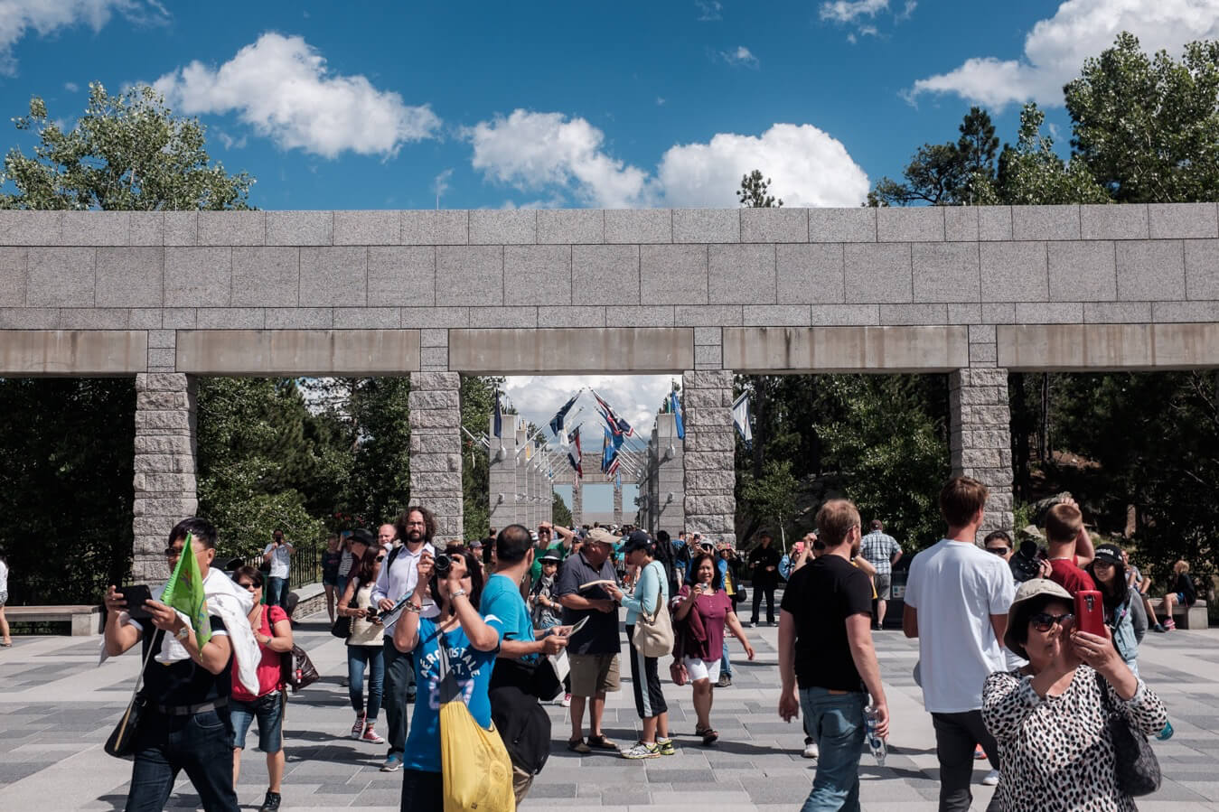
The road up to Rushmore was two or three miles. A gradual incline rather than an extremely steep one. I first caught a glimpse of the mountain faces as I rounded a corner a mile away. It just looked surreal. And that feeling didn’t change as I got closer after entering the visitor area that faced it.
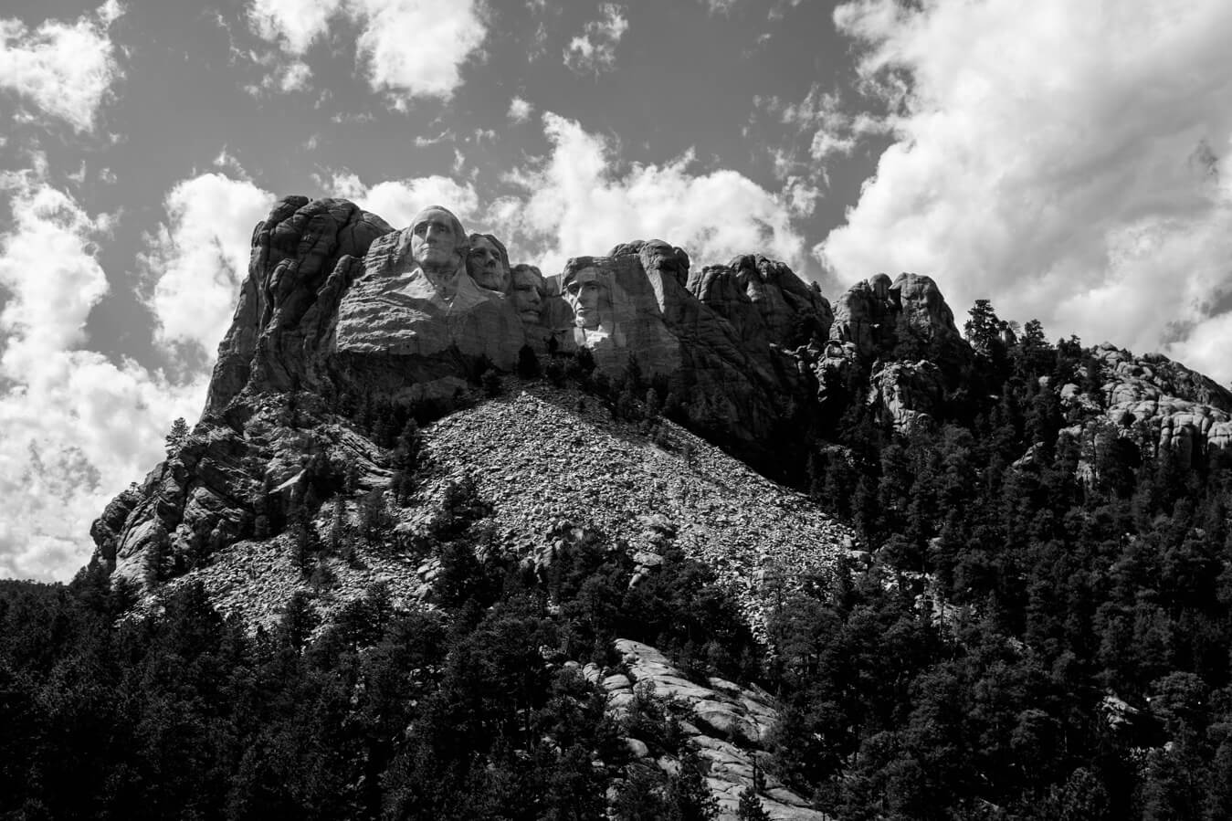
It’s one of those things which has been remixed or re-referenced so many times, like the Hollywood sign, that seeing the original thing it’s hard to know how to react. It was impressive, and with the light the way it was, it had a flatness to it which made it feel like a painting of movie set backdrop. It’s not possible to get too close. Or less you want to pay for a tour. I also saw a sign prohibiting drone use.
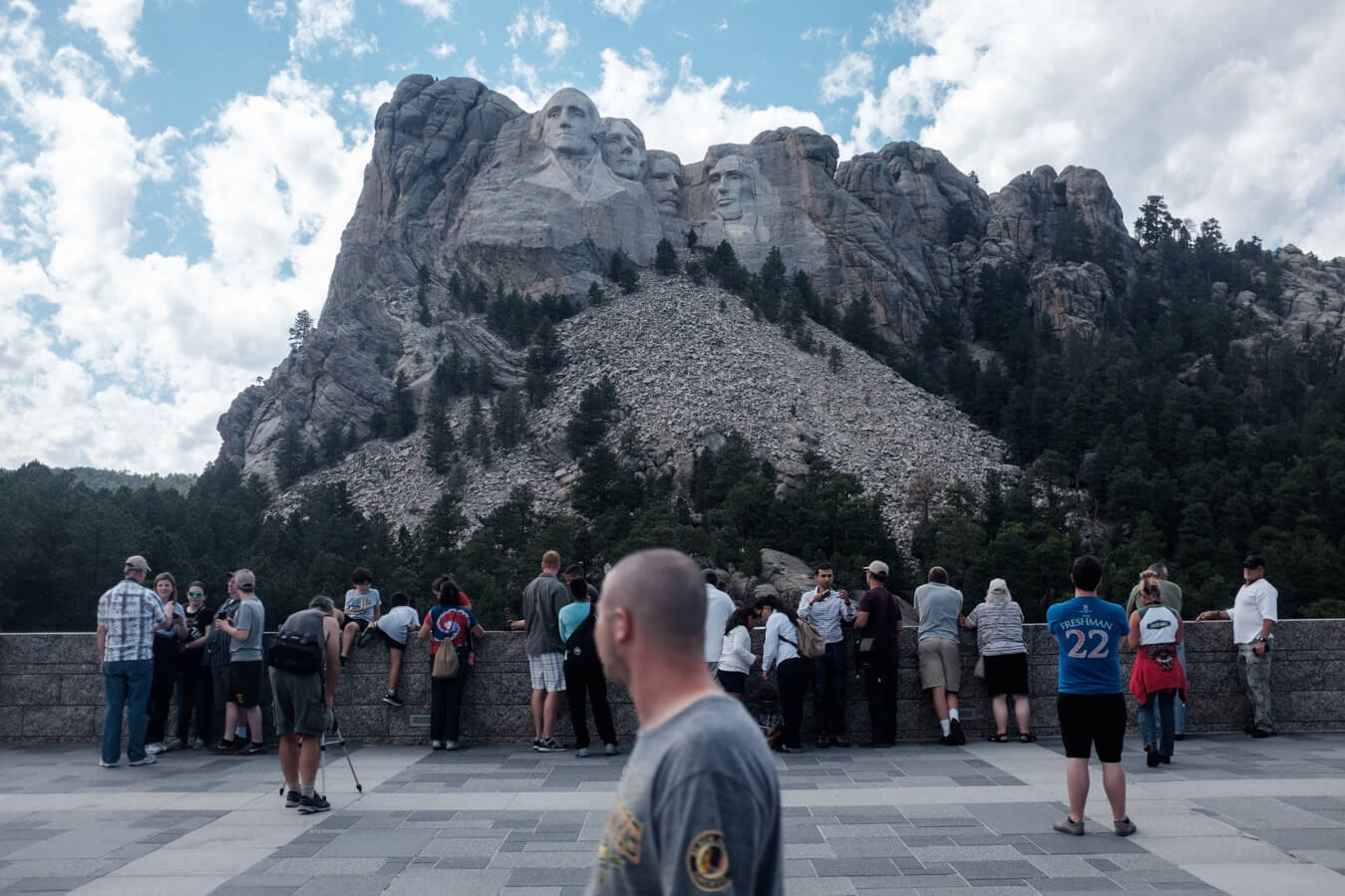
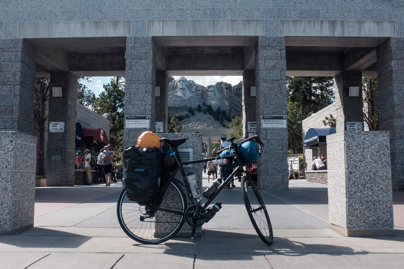
Ice creams and hot dogs were sold. I didn’t enter the gift shop or hang around too long. I think my favourite view might have been when it first became visible from the road, when it caught me by surprise.
I began to descend the road again so I could turn off towards Custer state park. As I did so I saw another tourer coming up on the other side of the road. I wanted to stop, I should have. But I’d just began to gather momentum, and on this busy road it was too dangerous to stop and u-turn, so I just had to let them go.
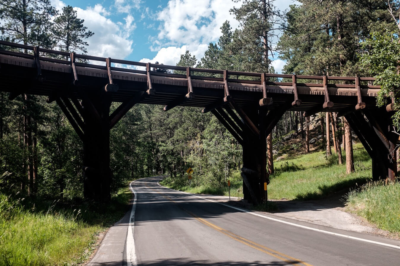
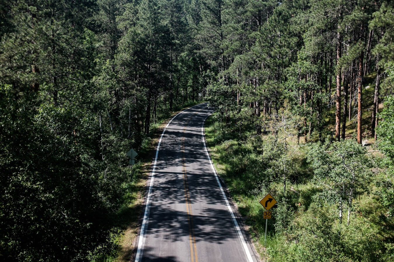
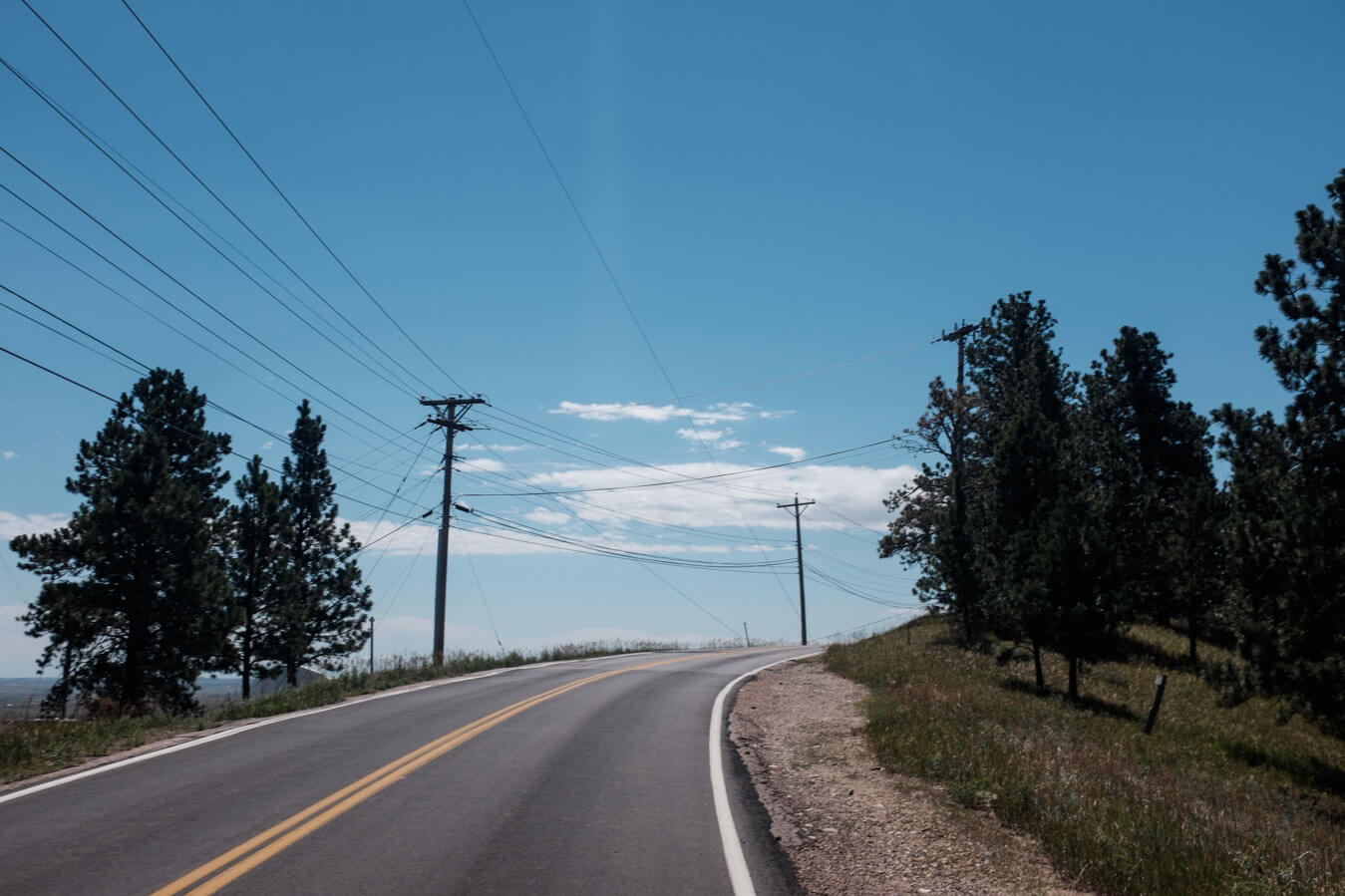
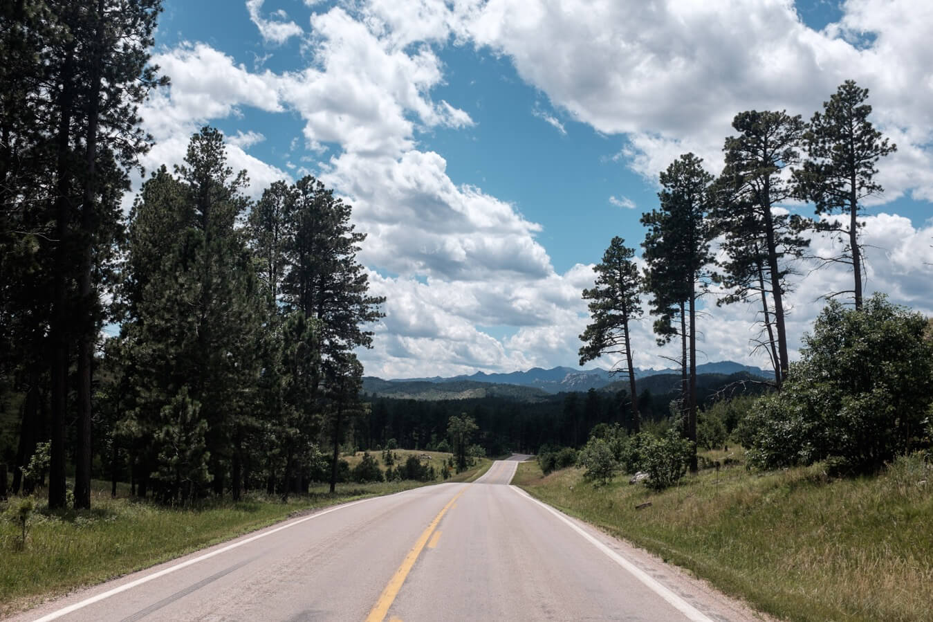
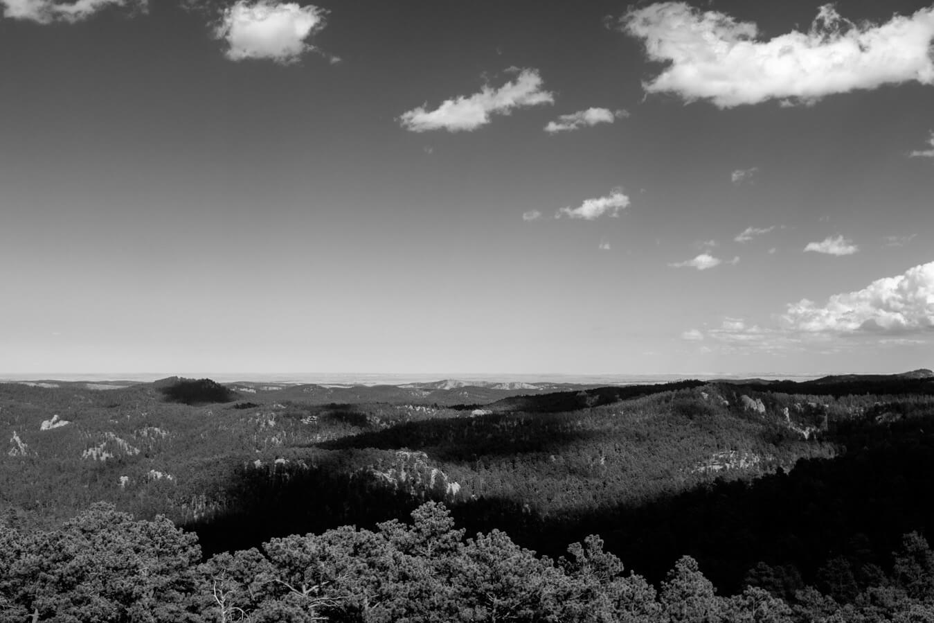
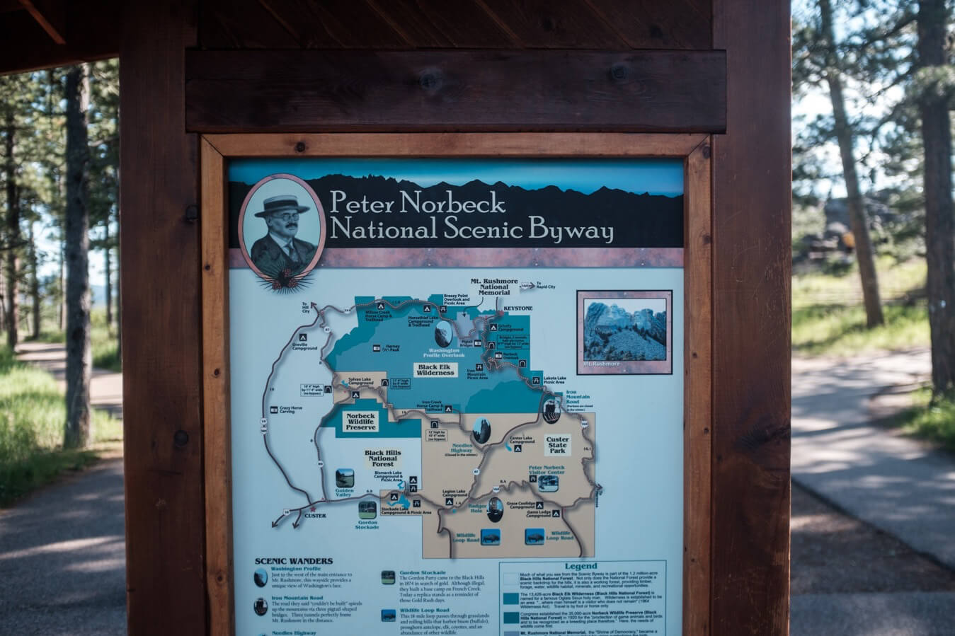
I was aiming for a campsite by Stockade Lake in Custer state park. To get there I would be climbing the Peter Norbeck scenic byway. A small, intricate network of beautiful rollercoastering roads which covered part of the black hills. The section I was on was the iron mountain highway.
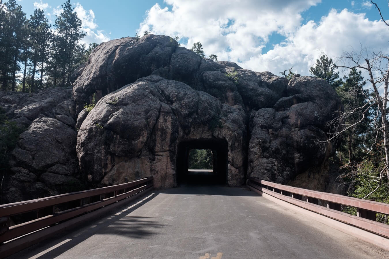
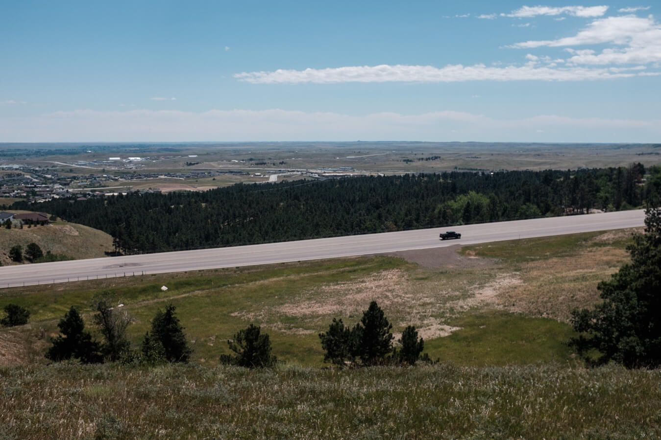
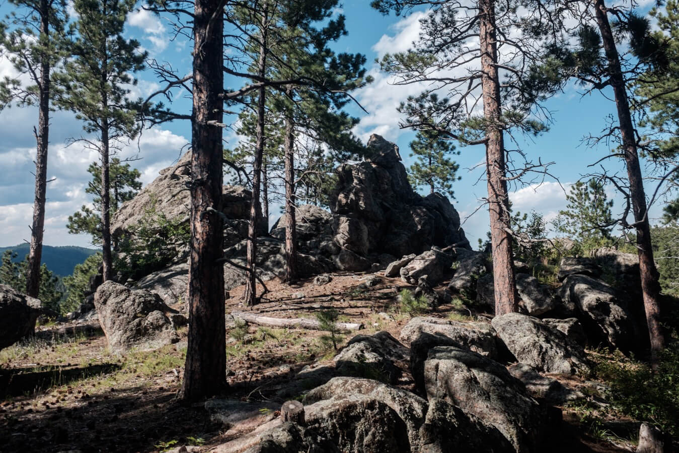
The climbs were tough but the most picturesque roads I’d cycled on, switchbacks which crossed over on each other using wooden bridges, tunnels through the mountain blown out with dynamite in the 1930s. The tunnels were designed to perfectly frame Rushmore in the distance.
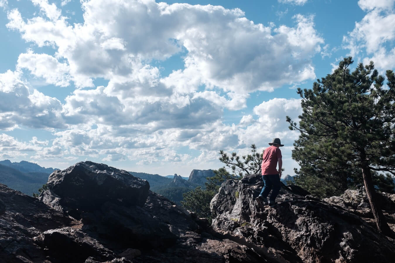
Eventually I reached the pinnacle of the section I was on and paused for a walk to the overlook. The next 4 miles were all downhill, great fun to ride. I didn’t listen to any podcasts or music like I often did, just enjoyed the sun and the smell of the trees, and the feeling of descending several hundred feet.
From the bottom I diverted off the needles highway – another creation of Peter Norbeck but one I didn’t quite have the time or energy for, and took a road cutting through the park, 10 or 12 miles to the lake. It was much flatter, but a very gradual incline which I sometimes find harder to deal with.
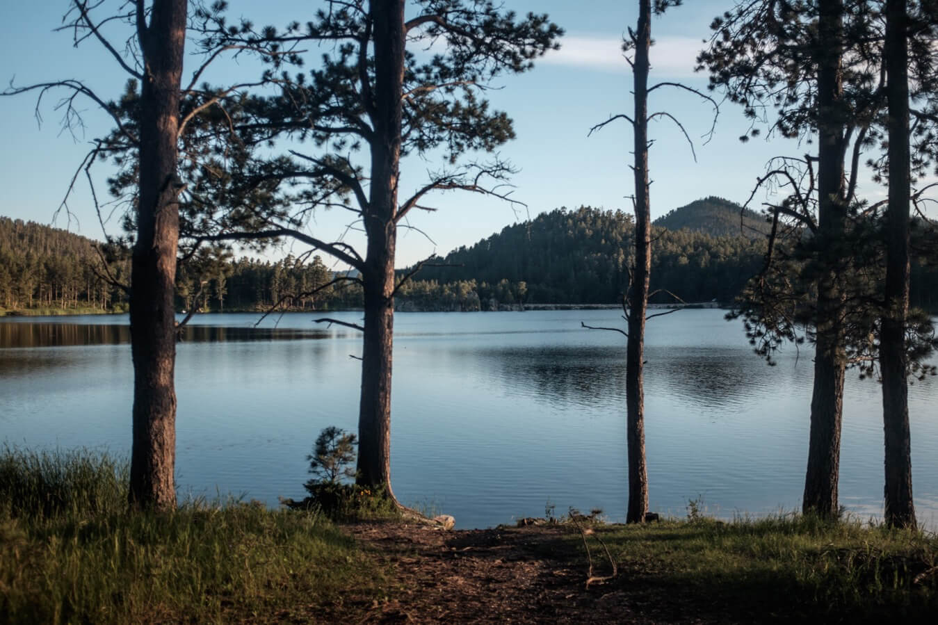
After a few junctions it arrived close to the lake. A roughly ‘S’ shaped body of water with a dam on the thinner section. I considered camping down by the water but continued the last half mile to the campsite.
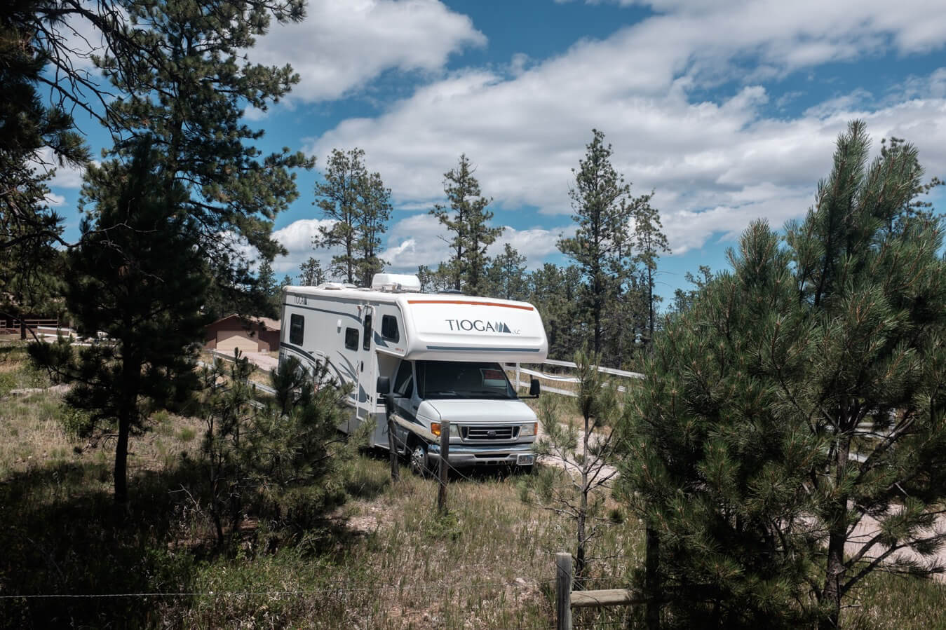
It was busy. Just as I was about put my tent up anywhere a large man with the physique of a bowling bowl pulled up in his truck. He manned the campsite and located me on a section of grass which he valued. I tried to negotiate the $22 but knew it was a losing battle.
I’d covered just 50 miles, but a lot of that was uphill. I felt a bit lost now I wasn’t sticking to any particular route, I had enjoyed that aspect of the Northern Tier, but it was too late to rejoin it now. My plan was to head north now, to the towns of Deadwood and Spearfish, then along to the Devils Tower, and from there, around 130 miles to Bufflao where I’d plan my route into Yellowstone.
It had been a good day in many respects but I was still worrying about the time I had left. My brain felt kind of foggy – my route felt incoherent and I didn’t really know what was motivating or guiding me at this point, other than the will to finish.
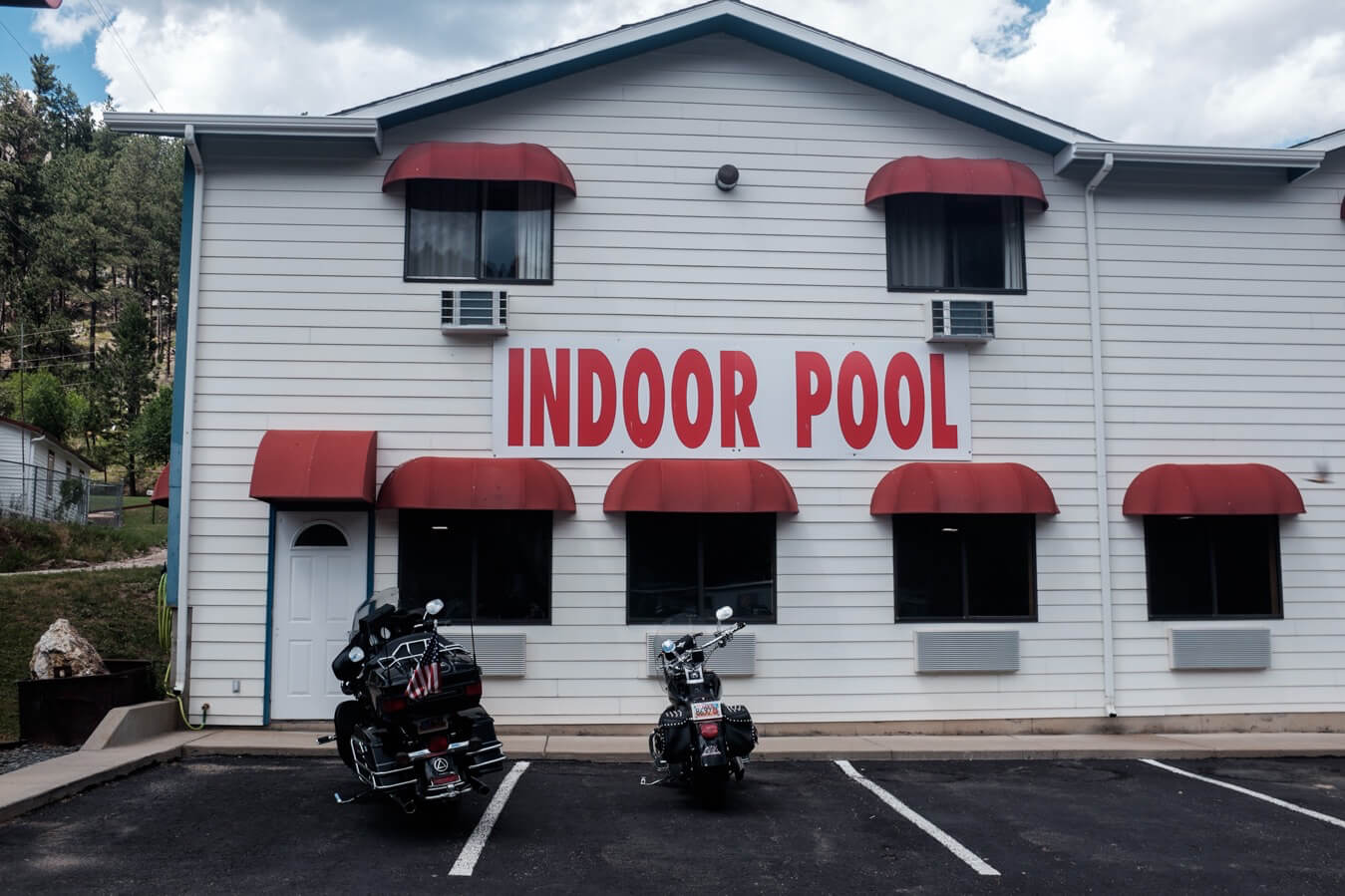
The two nights in the motel had been good to catch up on stuff, but that had left little room to just do nothing and relax, hopefully I’d find a way to find that on the bike in the next few days.
Map
