Wednesday, July 27th
As I leave Spokane I have two questions: 1) why are there so many cars and 2) where are they all going? The moment I leave the park the roads are packed. It’s 10am on a Wednesday morning. Not a special day. But the traffic doesn’t stop. Everyone in a rush to get some place to do something but I can’t figure out what that is. It’s not a good place to be a cyclist. Spokane has been one place I’m happy to leave, perhaps I’ve just seen the worst side of it, or maybe no better side exists.


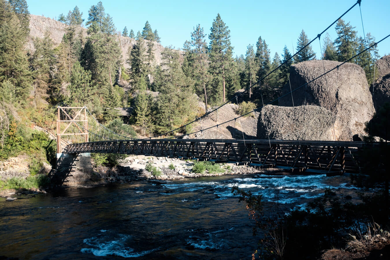

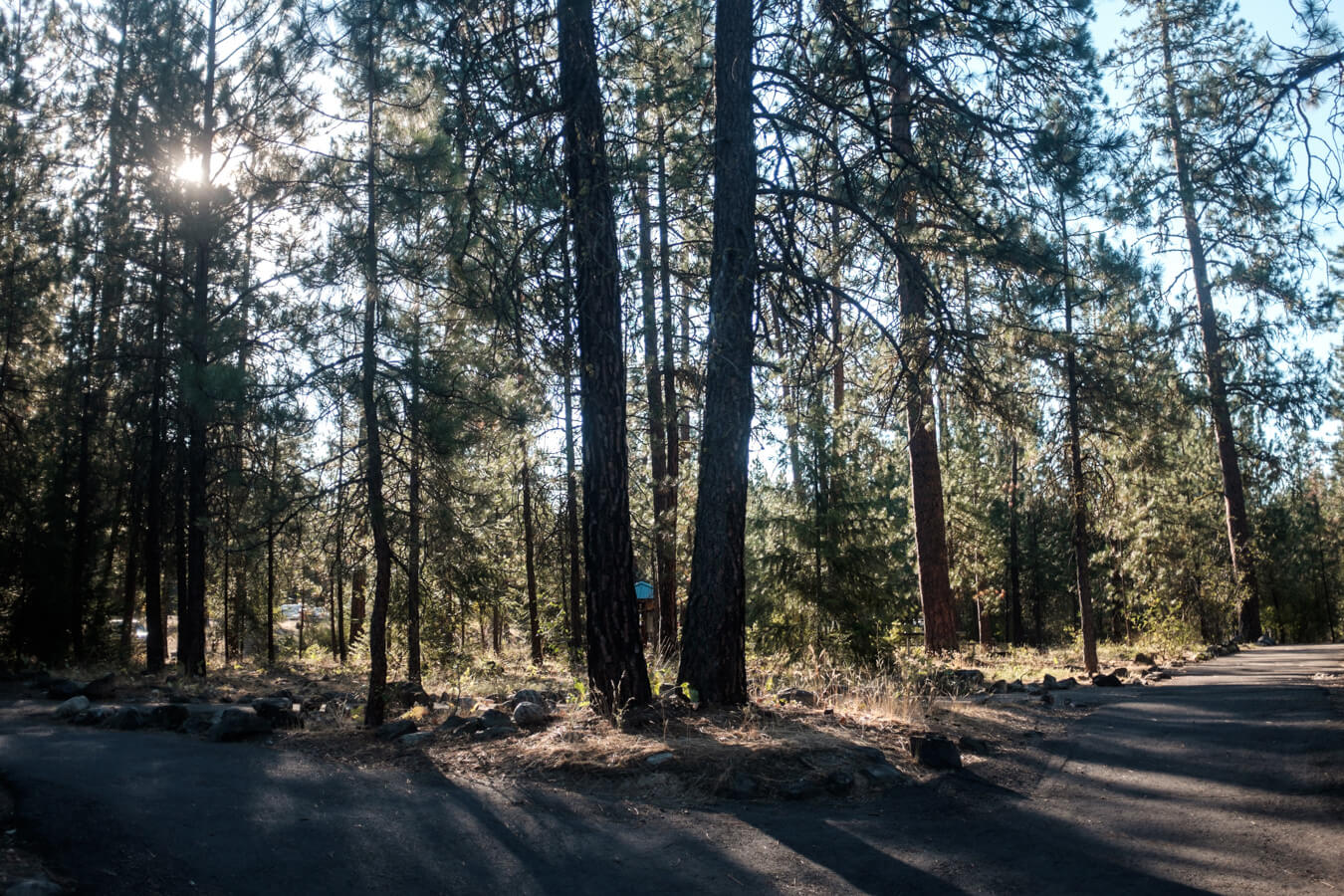

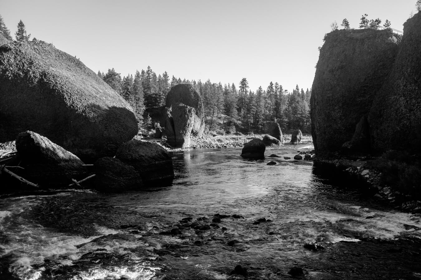
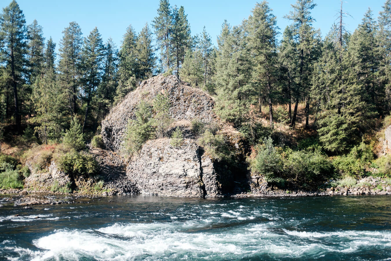
The river was very fast but can’t have been too deep. Not many other people were around, a jogger, a few guys on mountain bikes. I spoke to one Canadian who gives me some tips for the small islands in the bay of Vancouver which I might have some time to check out if my pace holds up.

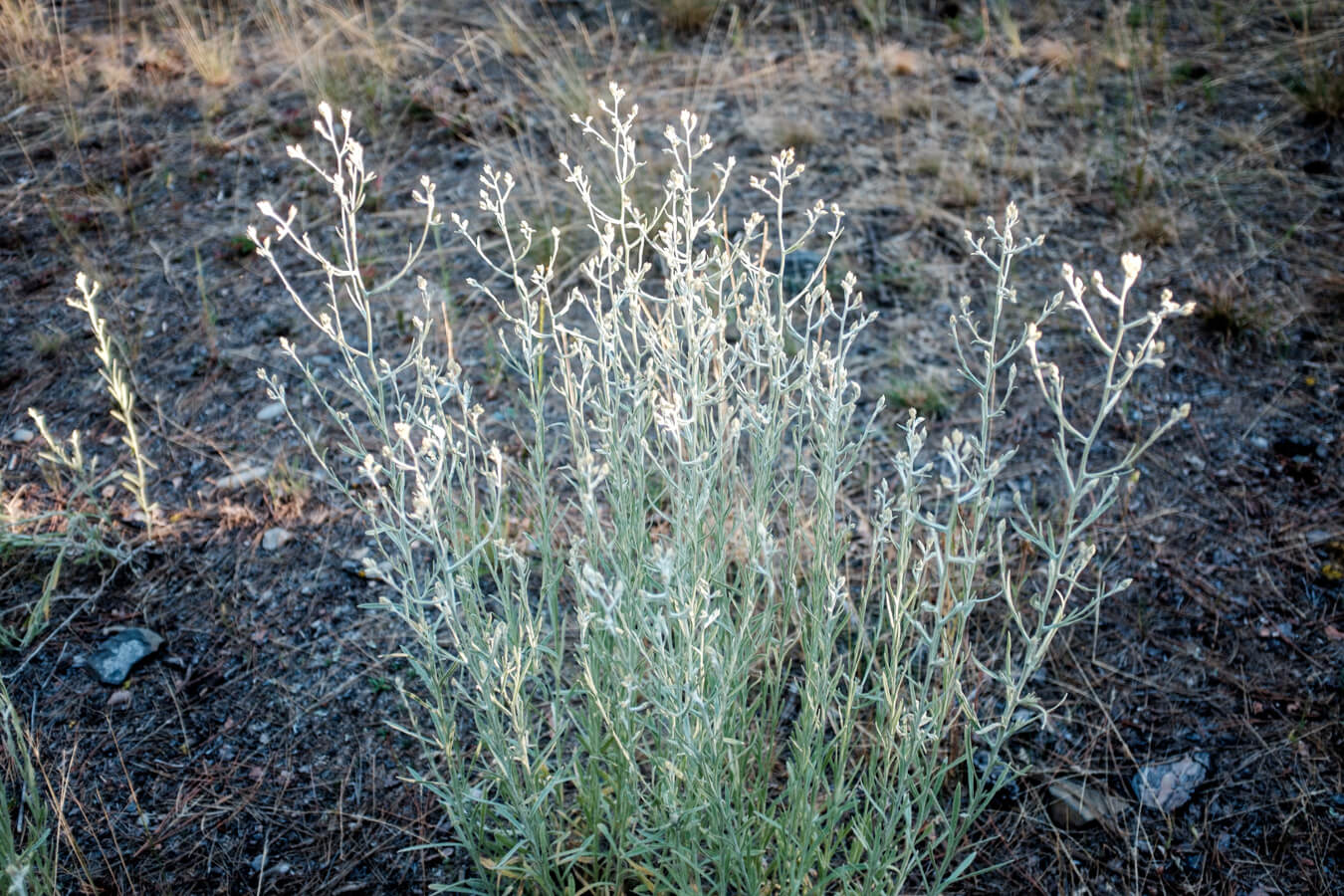


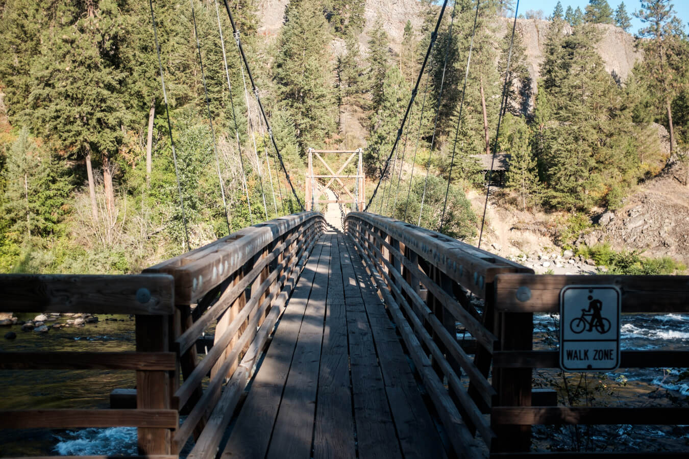
It definitely feels like I’m on the homeward stretch now it’s only about three or four hundred miles away. I’ve sped up again, going at a similar pace to how it was when I started. I’ve taken fewer photos the last few days. Idaho was so-so. I’m not sure the trail was worth the other stuff I had to tolerate around it. So today I’m heading north, north east specifically, technically backtracking slightly to join the Northern Tier route again which I hope will provide a more interesting approach to the coast.


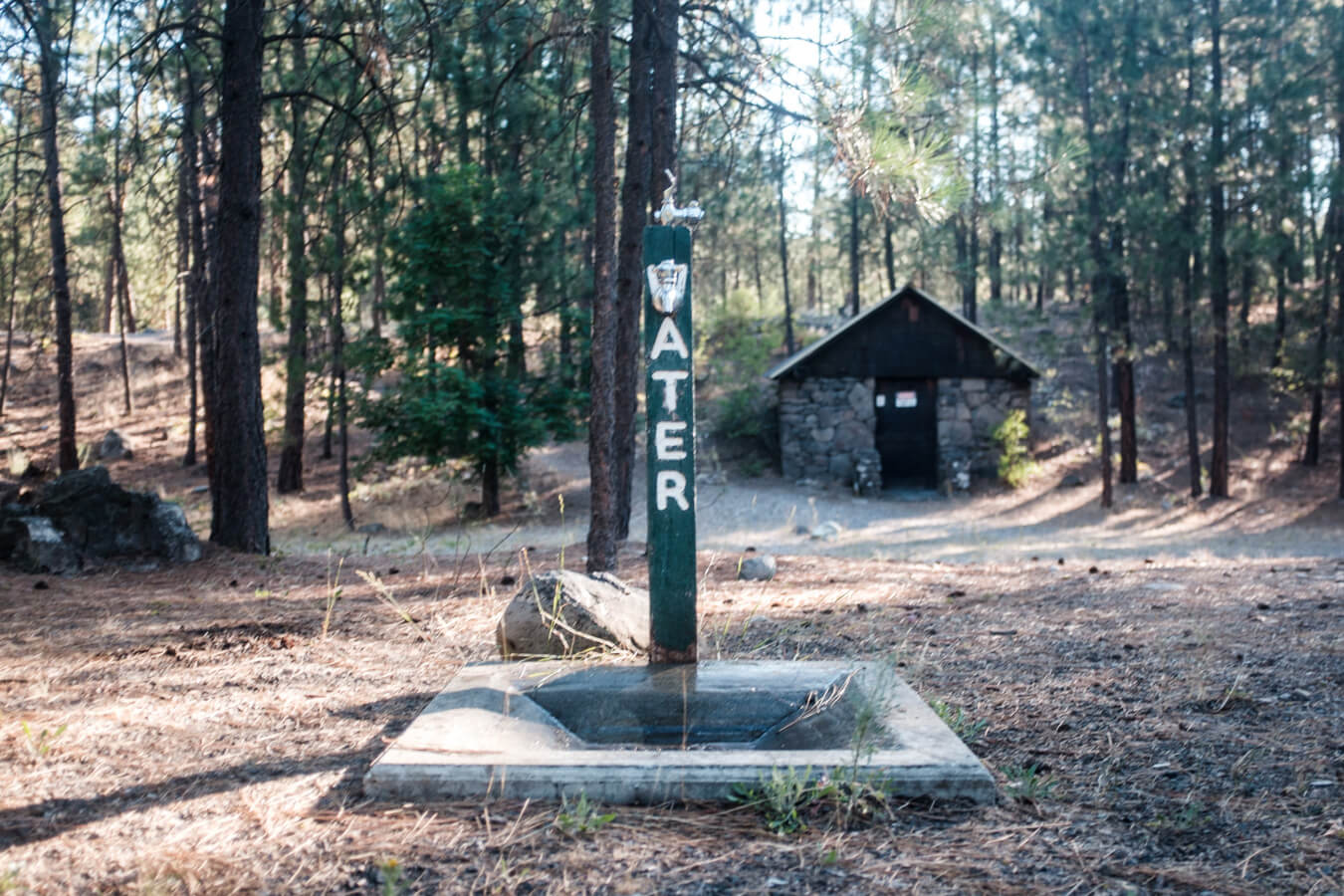




Out of the park and back in to town a little I stop at a large Safeway, the kind which has a Starbucks inside, before navigating eventually to the route 2.
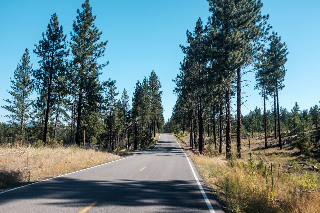
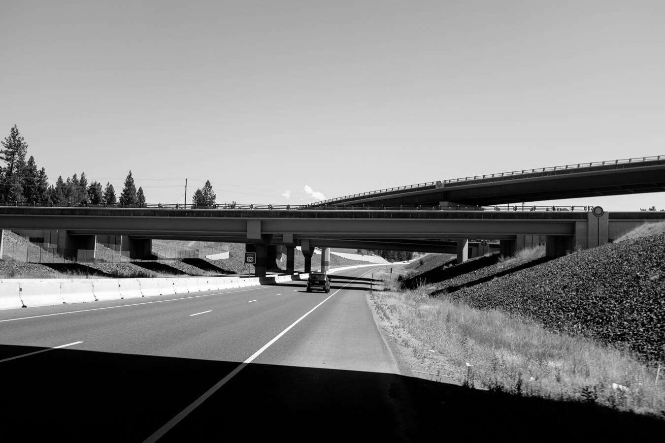
For some reason I’d had the idea this would be a quiet route north. But it’s a four lane highway. Not as bad as the interstate since the speed limit is lower and you don’t feel quite so trapped on it, but definitely not the road I had imagined, though right now I’m not sure what had given me that idea in the first place.


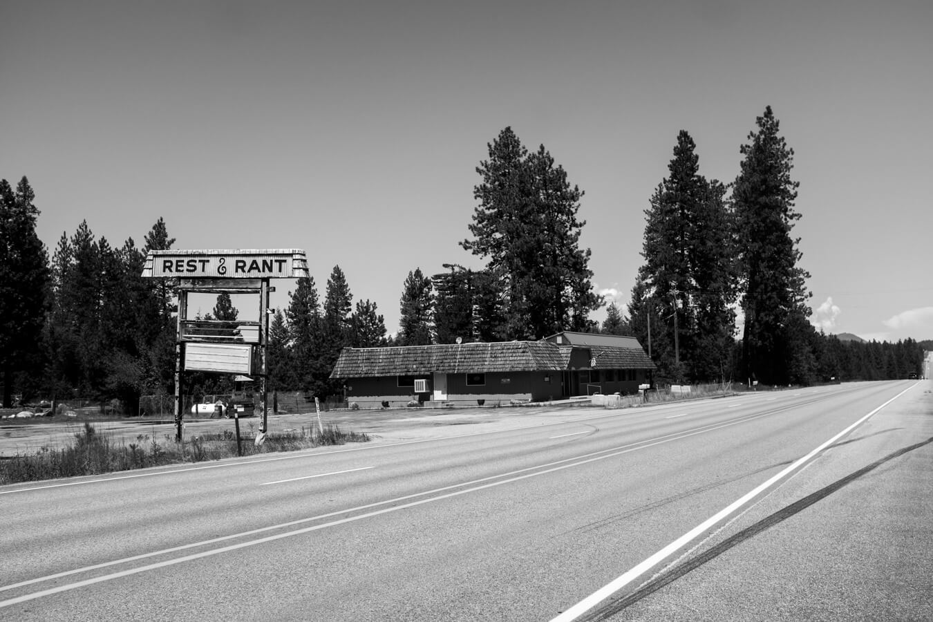
It’s just under forty miles to Newport, a town right on the Washington / Idaho border where I’ll make a left turn to go west again, on the northern tier route.
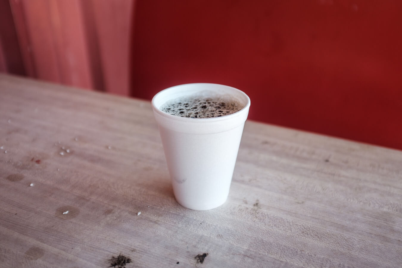
I stop only once during these forty miles for coffee at some roadside convenient store and sit on a worn out red plastic picnic bench outside as cars pull in and out. People always seem to leave he engine running.

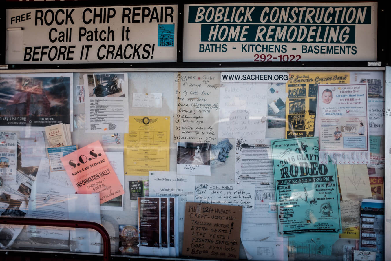


It’s not a bad few hours but I’m glad to reach Newport and put what I’m hoping will be the last of the busy roads for a while behind me.

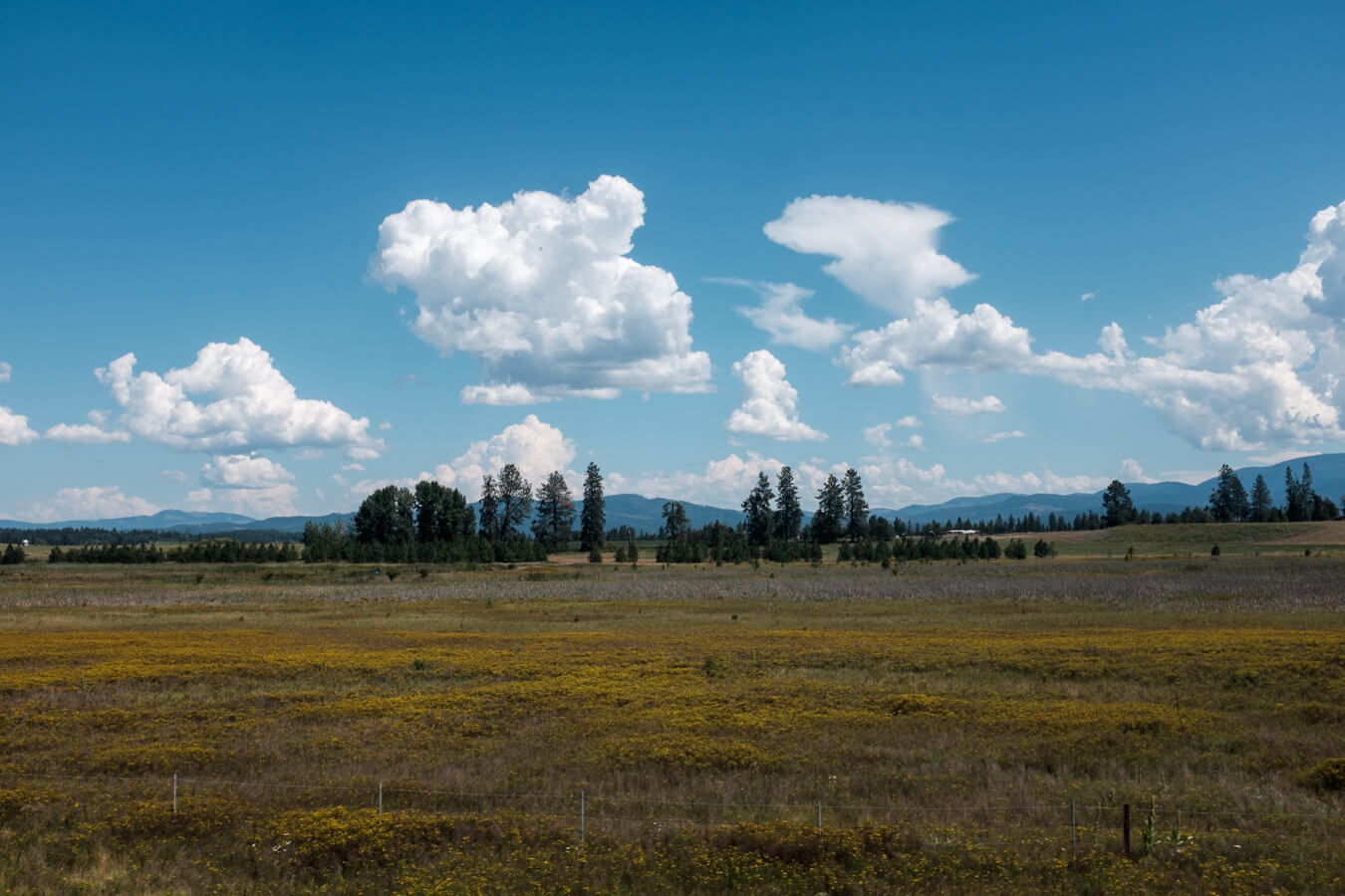

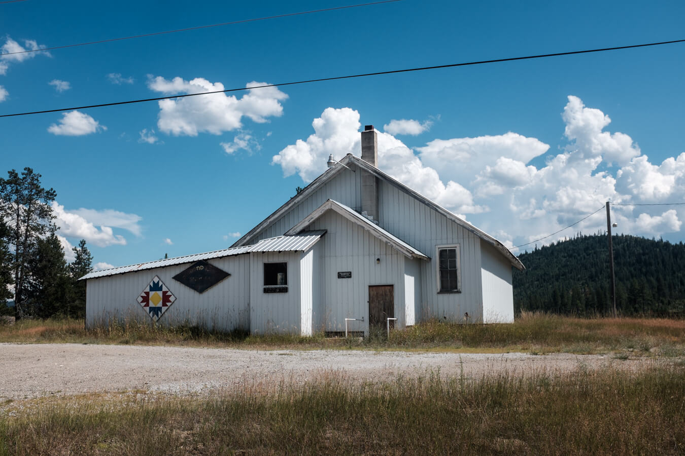
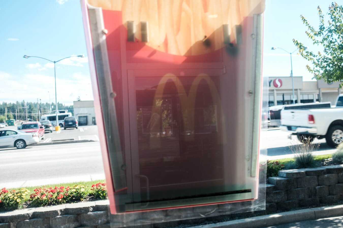
I skirt round the edge of Newport. I feel I’ve seen enough of small town America to know what to expect now and I want to make it to a campground another 30 miles away so don’t want to get distracted in some thrift store or diner. Instead I head to Safeway again for some dinner supplies, then McDonald’s for the wifi and cheap ice coffee. I make a call to the Bacon Bike Hostel, a free place to stay in the Colville area of Washinngton, I should reach it tomorrow afternoon. A few hours to relax after two long days is something to look forward to, though part of me just wants to keep going until I hit the sea.

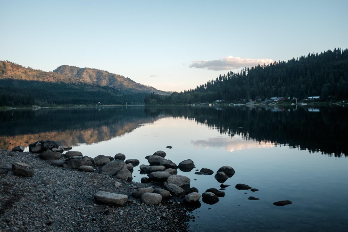
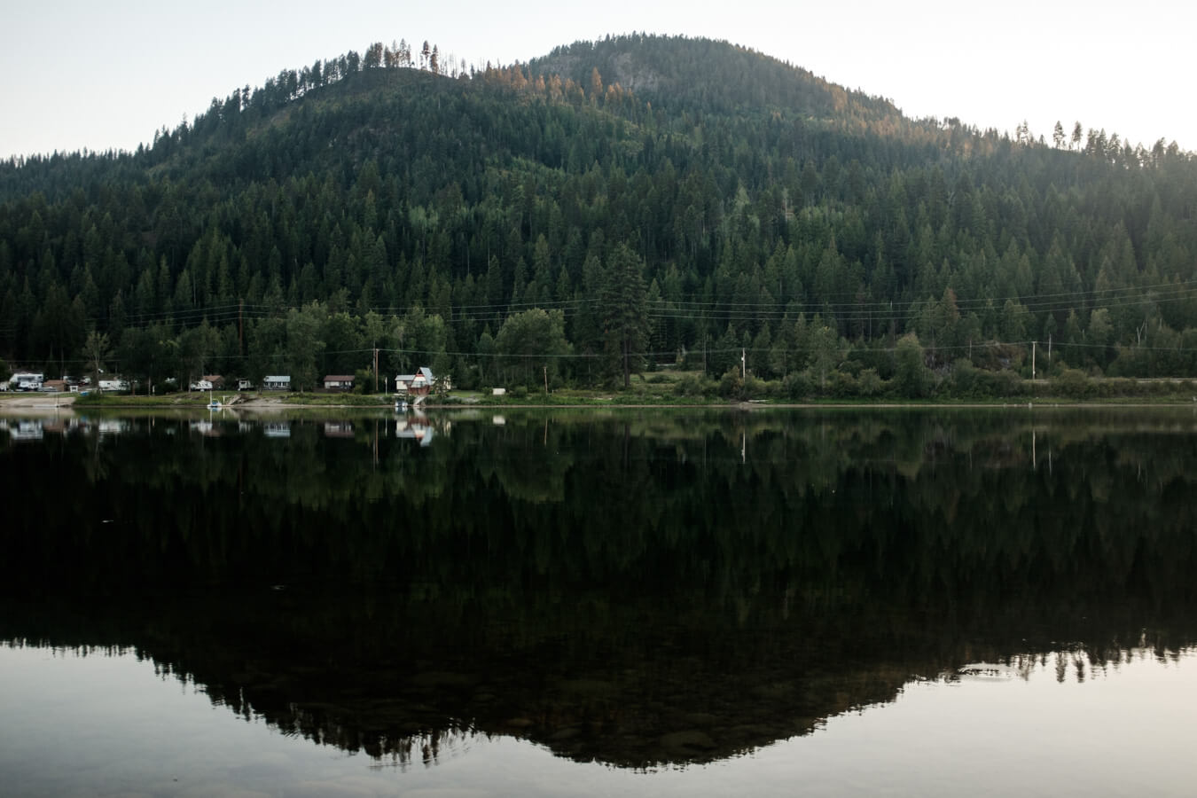
I’m back on the route and immediately it feels about 300 times better. For the rest of the afternoon I’m on a quiet winding road alongside the river. Through avenues of tall trees with glimpses out over the water, across occasional piers or toward pretty riverside homes. It couldn’t be much better.

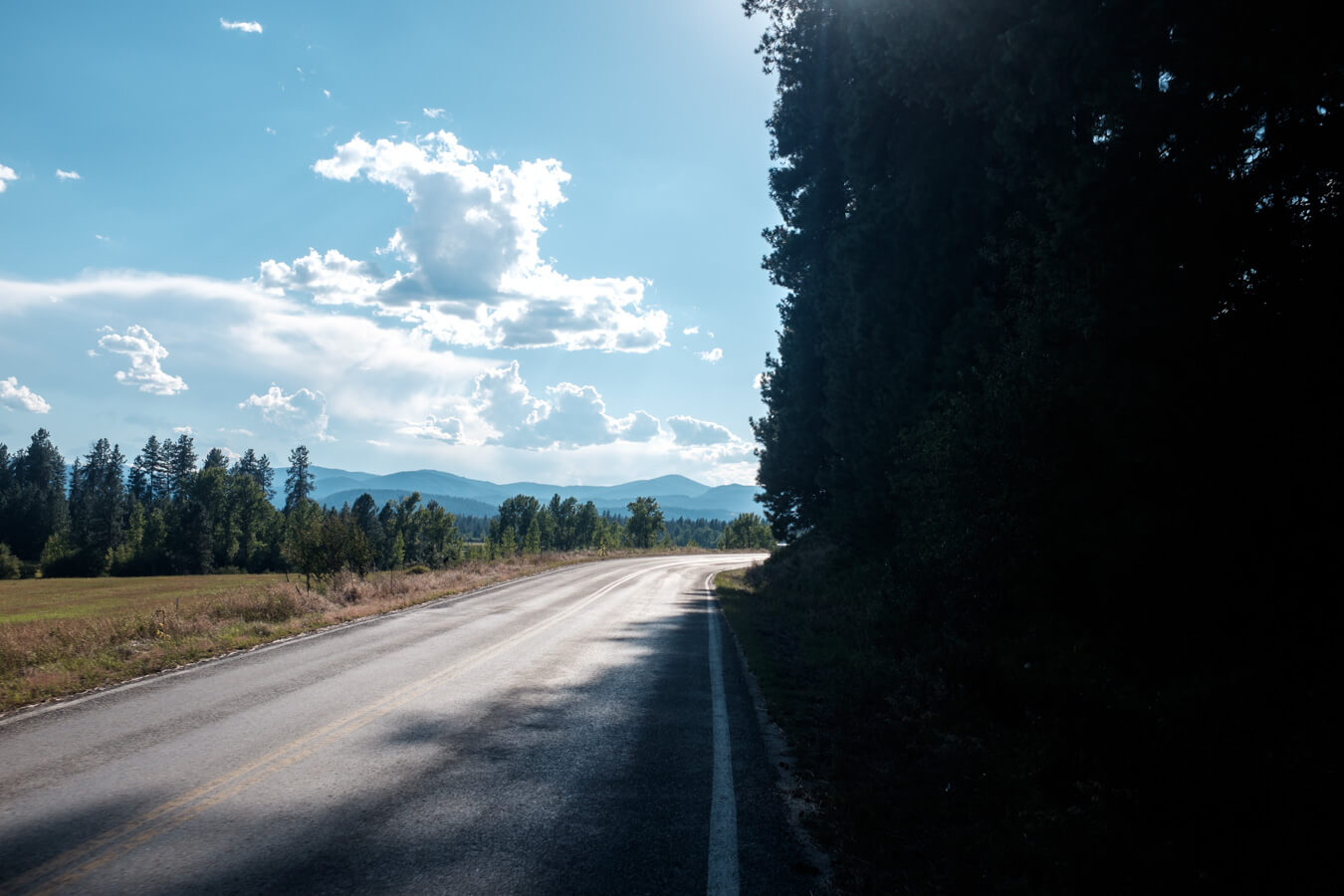

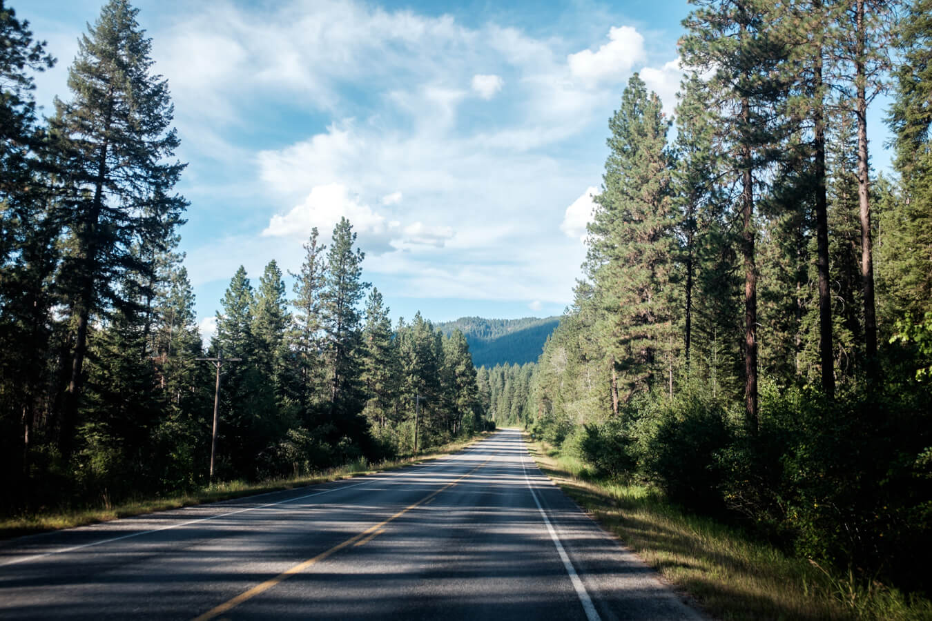
I can’t help but feel a little bit of regret for not joining this route directly out of Missoula, if it would have provided roads like this for those 200 miles or so. But it is what it is.
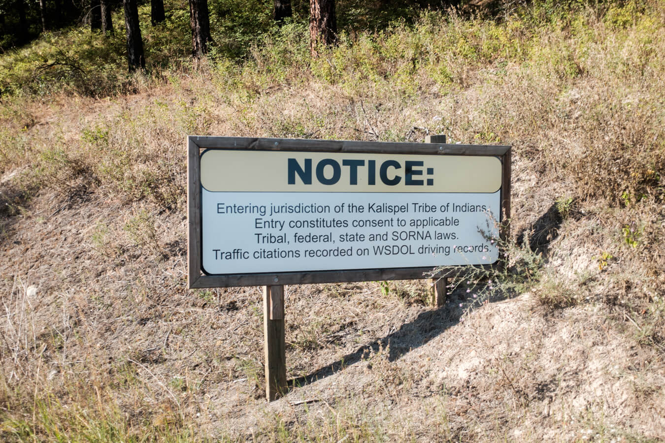
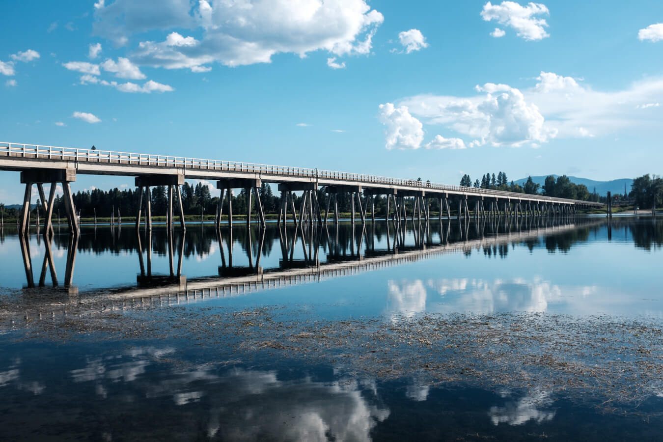
I enter the Indian reservation area and a sign notifies me that this area is under jurisdiction of the Kalispel Indian tribe and I stop to take a photo of the bridge here which connects with Usk on the other side of the river. It’s been a good day for bridges.



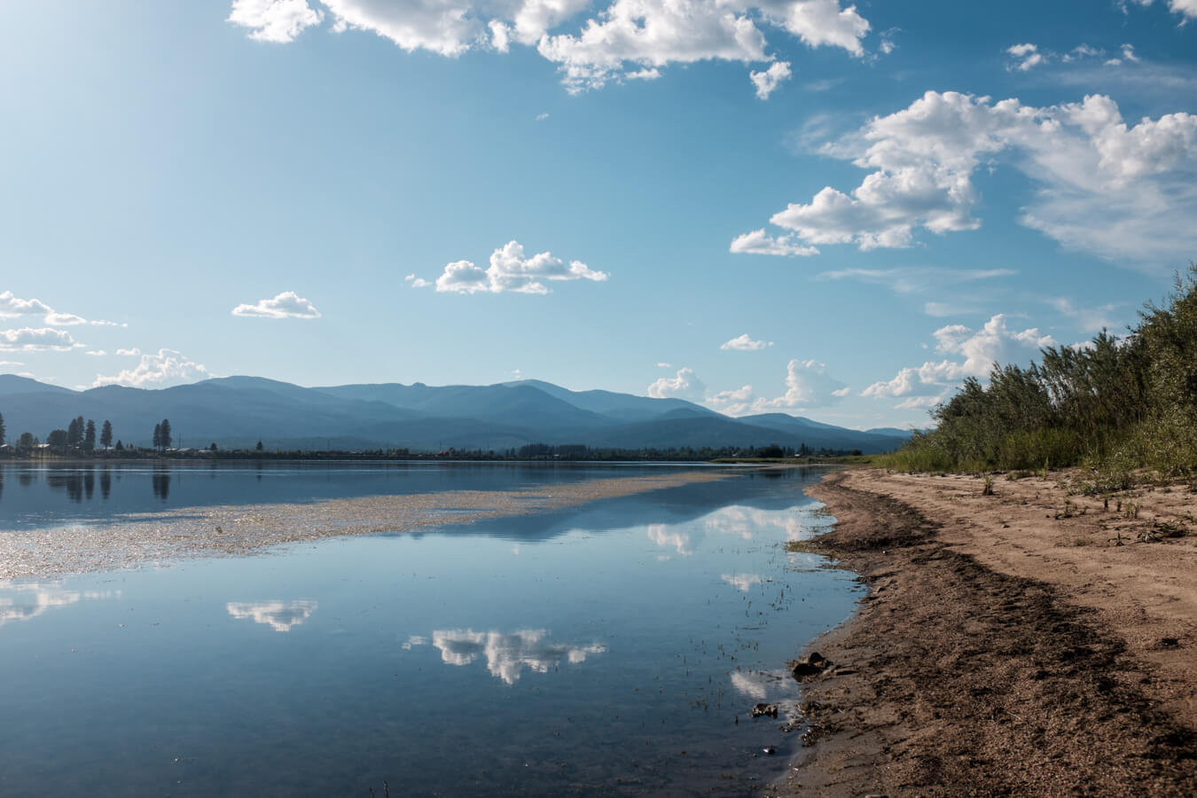

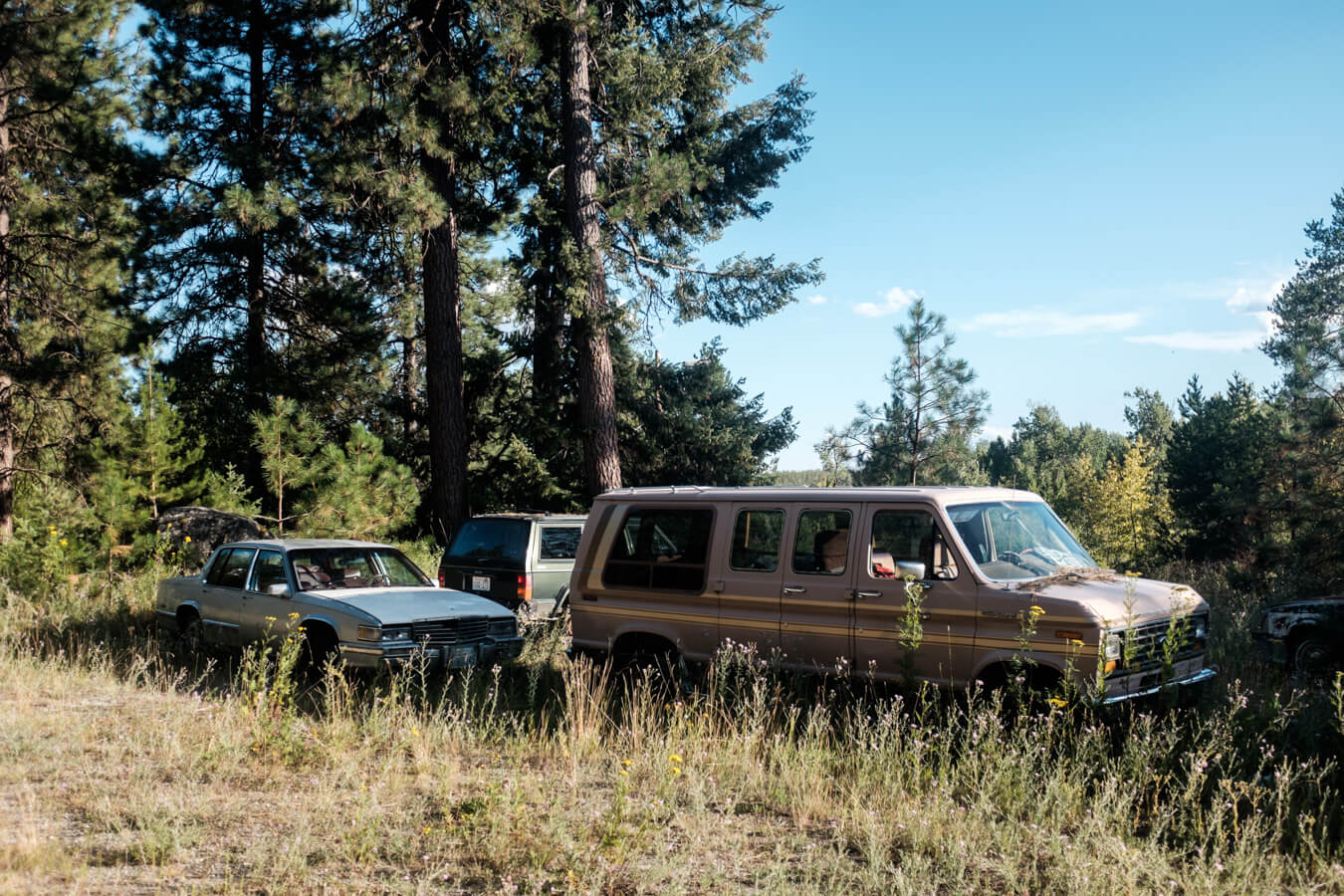

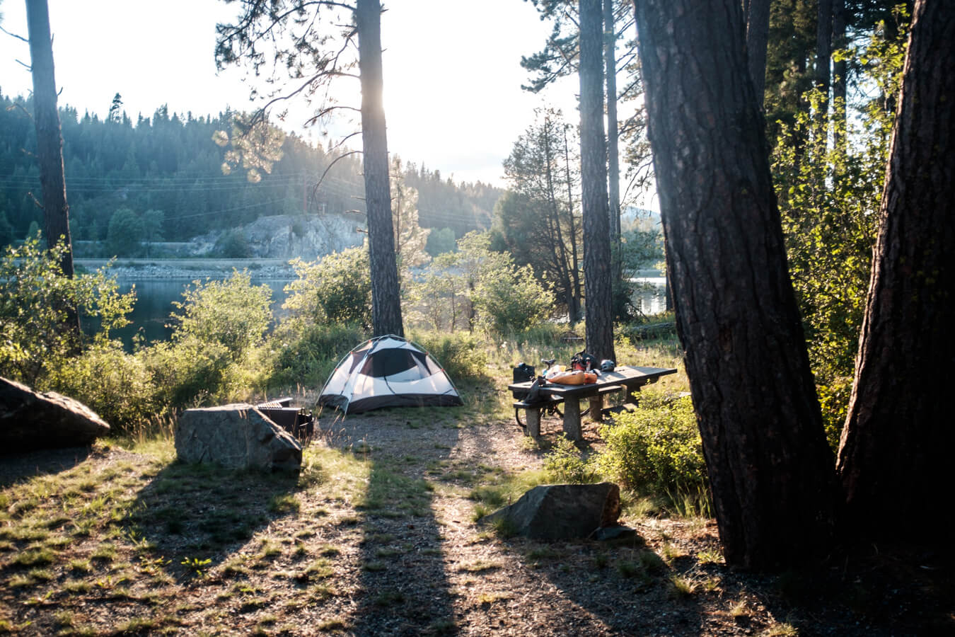
From here it’s 15 miles to the campsite and it passes easily. Both google maps and maps.me bring me to a gate which says ‘no trespassing’ and I check the satellite view and spot the campsite a little further along the river than they had marked. Another quarter mile and the national forest sign appears. It’s a perfect campsite – right on the edge of a river, and no one else appears to be using it.
I pick a spot close to the water. It’s bear country again but there at lockers here for food so I don’t need to worry about hanging it from a tree.

Map

